


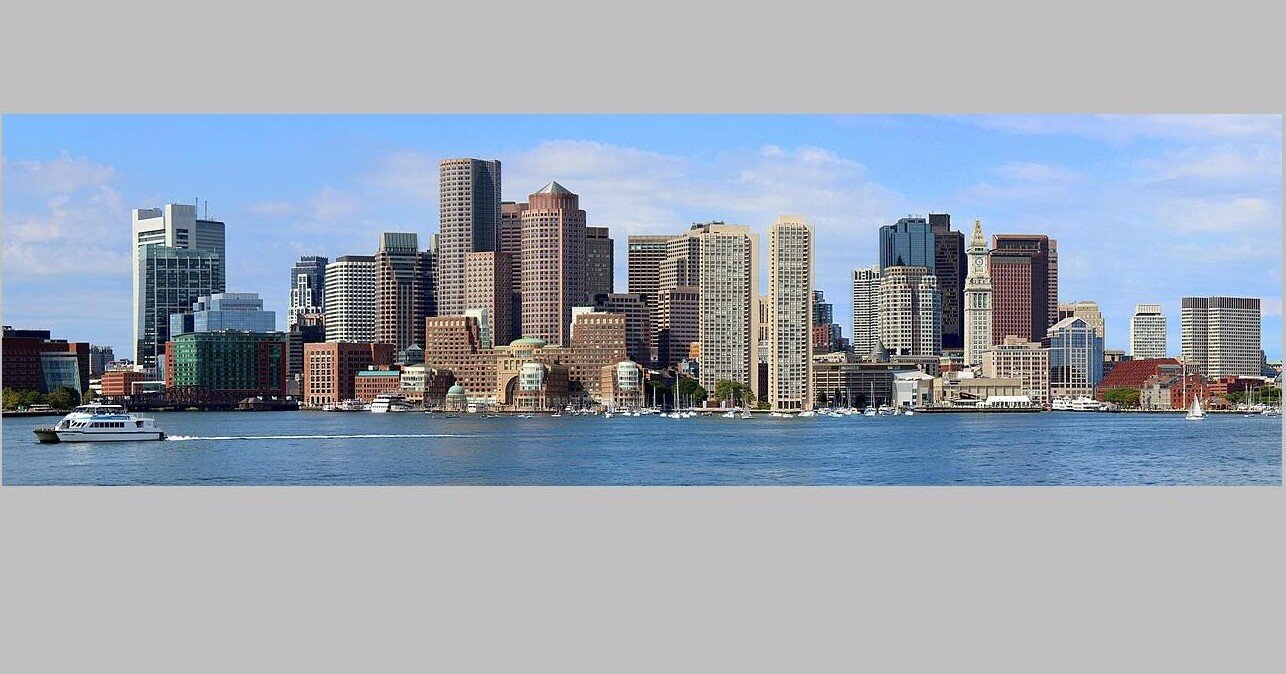
A panorama of Boston – credit, Rokker, CC 3.0.
Expected to see 10 to 18 inches of sea level rise over the next 25 years, the city of Boston and the US Army Corps of Engineers have released a feasibility study for 20 separate infrastructure projects to protect the historic city’s coastline.
The study estimates that if nothing is done, costs to the city’s historic buildings, neighborhoods, but particularly to the transportation systems from flooding could reach as much as $54 billion by 2090.
The study therefore outlines a fifth of that estimated cost in investments towards infrastructure projects that will prevent the increased impacts of flooding in the decades leading up to that date. The projects will come in stages, just as the worsening impacts of predicted sea level rise are expected to.
“The reality is that doing nothing is not a viable option. Without action, the costs to public safety and economic vitality from coastal flooding will only be compounded,” said Lt. Col. David MacPhail, deputy commander of the Corps New England District, in a statement.
The planning strategies, according to the feasibility study summary, focused on finding different ways to manage storm risks both today and in the future under several different sea level change scenarios, and according to each neighborhood’s needs and capacities—a substantial challenge with even more substantial uncertainties.
The USACE estimates, however, that virtually the entirety of Boston will experience inundation during a 100-year storm event over the next 64 years.
A map of Boston, with purple indicating flooding under intermediate sea level rises, and light blue under extreme rises – credit, US Army Corps of Engineers
“The Army Corps project is a generational opportunity to receive federal funding to invest in our coastline, but Boston needs a strategy that is viable and implementable to meet the match,” Rebecca Herst, Green Ribbon Commission associate director and director of climate resilience, told Engineering News Record.
The projects would span some 16 miles of urban coastline, from above Powder Hill in the north to Columbine Cliffs in the south.
MORE BOSTON NEWS: Bostonians Wanted More Bike Lanes: Now They Have Them, and Traffic Is Down
Though the executive summary mentioned seawalls as a potential measure, no concrete ideas are yet proposed since the monumental investment costs are so variable.
Nonetheless, consultations over engineering effectiveness, economic opportunities, and environmental impacts of any ideas either proposed by the Commission’s coastal resilience task force, or by other “resource agencies and stakeholders,” were held, during which time federal government interest was also confirmed.
PREVENTING THE WORST EFFECTS OF CLIMATE CHANGE: The New Orleans Levees Held – Passing Their First Major Test Since Hurricane Katrina
“The future of our city depends on the steps we take now to build resilient communities,” popular first-term Boston City Mayor Michelle Wu said in a statement. “With more frequent flooding in vulnerable areas during extreme weather events, the Coastal Storm Risk Management Feasibility Study is critical to understanding how to protect inland neighborhoods most at risk and unlocking resources to take action.”
The task force plans to finalize its financial blueprint by next summer, coinciding with the Corps’ final feasibility study. The agency will accept public comment on the analysis through September 18th.
SHARE This Important Story Of A City Planning For The Future With Your Friends…
